The Best Hiking Trails in Arizona
Arizona has a reputation for being a state that's covered completely by a desert. Giant cacti (saguaro) silhouetted against a beautiful sunset and stunning scenes from the Grand Canyon are not all Arizona has to offer. In fact, the state is far more varied than many outsiders assume. Arizona hiking trails can take you through pine forests, bare deserts, or secluded canyons. Arizona hiking trails with water destinations are especially prized.
We list ten trails throughout the Grand Canyon state that will take your breath away, in order of difficulty. In the backcountry, be sure to carry a communications device and plenty of water.
Easy Hiking Trails in Arizona
Douglas Springs (southern)
This trail system consists of a lovely series of hiking and horse-friendly trails through Saguaro country. The trails can be reached by driving east to the end of Speedway Boulevard, a main thoroughfare in Tucson. Douglas Springs trail is easy to moderate but can become difficult if you choose to go all the way to the springs (6 miles, one way). The first three miles lead steadily upward to a waterfall, active in the spring and early summer. If you prefer not to climb, the area also has a network of flat trails looping through a wilderness of cholla, prickly pear, and saguaro cactus.
Hidden Falls (southern)
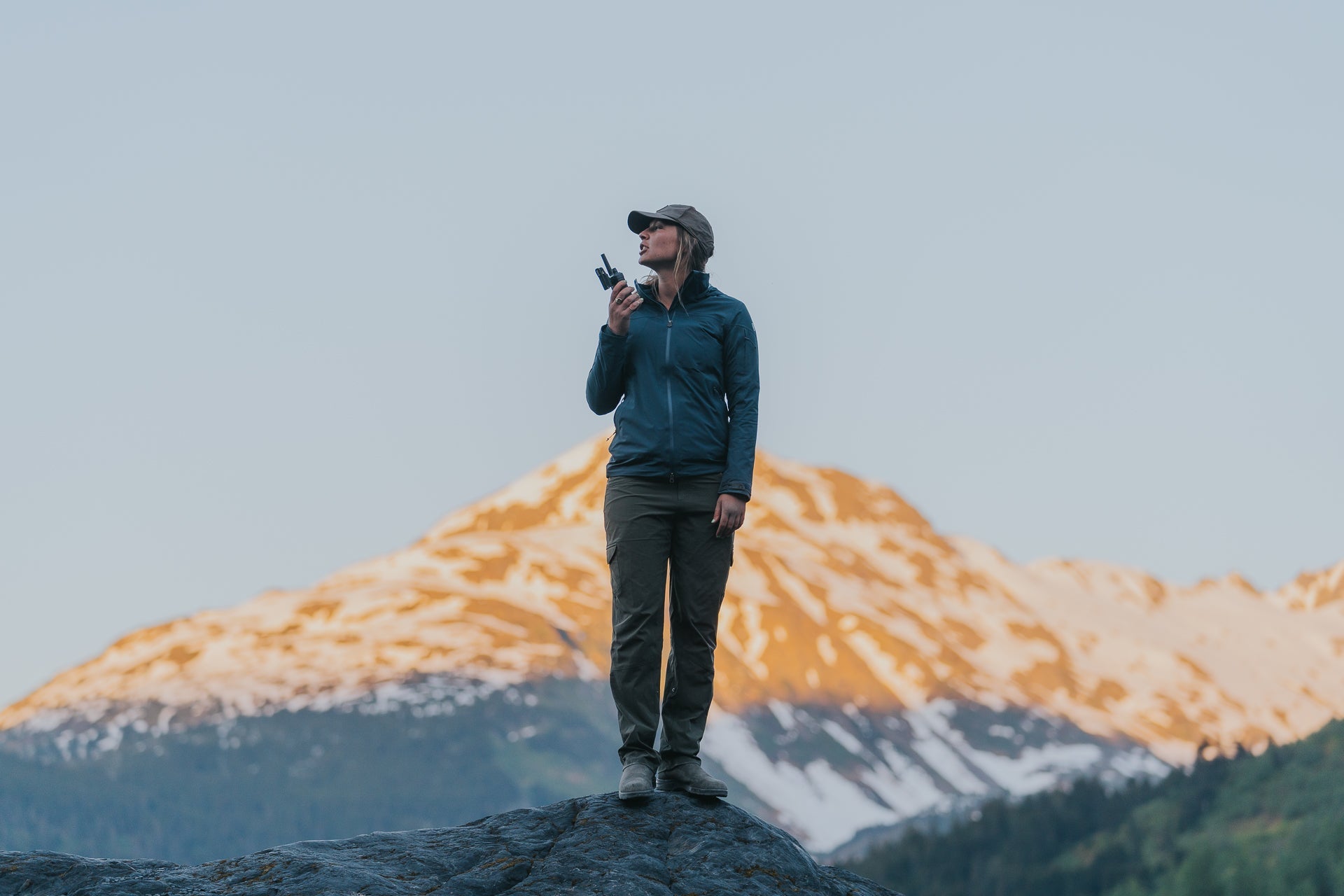
In popular Catalina State Park (pictured above), north of Tucson, fantastic Arizona hiking trails abound. Hidden Falls is a 4-mile out and back trek reached by walking north-northeast from the parking lot on the main loop and turning onto the Sutherland trail. After another 3/4 mile, hikers reach a spur trail to the right, just after the second bench. Another mile and a half leads to a small, secluded box canyon with a drinking pool fed by a tiny ribbon of water from 100 feet above.
Moderate Hiking Trails in Arizona
Walnut Canyon (northern)
This is an easily accessed trail touring ancient ruins, in the vicinity of Flagstaff. The trail itself winds down in a spiral, showcasing tiny, low-ceilinged rooms that once housed families of Native Americans. This concrete and hard-packed earth slope isn’t technical but the elevation (near 8,000 feet) combined with climbing put this Arizona hiking trail on the “moderate” list for some.
Elephant Butte trail (southern)
Well-known to locals, this Arizona hiking trail takes you to the top of a butte that is shaped, so says legend, like an elephant’s profile. It showcases a mix of Sonoran desert scenery, grasslands, and fantastic views of the valley. Falling squarely into the “moderate” category, Elephant Butte becomes more difficult in terms of navigation, steepness, and ruggedness the farther you ascend.
Courthouse Butte (central)
Sedona Arizona hikes are often fairly flat and easy, but deep sand and rock scrambling mean even some of the shorter ones are moderate. If you are visiting the Grand Canyon state, a trip to Sedona (only an hour from Phoenix) is highly recommended. Courthouse Butte / Bell Rock Pathway is a great bet for a 4-mile loop hike that traverses red stone while winding through stone archways and towers. Views of the distant vermillion rock formations and iconic Sedona buttes abound.
Sycamore Canyon (southern)
Near the Mexican border, on the road that takes you to Pena Blanca lake off I-19, is a short hike to a water-filled canyon. This area requires an 18-mile drive down a dirt road to reach a canyon that includes hoodoos, giant sycamore trees, marshy areas, and swimming holes. The hike requires scrambling over rocks to avoid water, and is designated a “riparian area” that has water all-year-round.
Difficult Arizona Hiking Trails
LaBarge Canyon (central)
From central Phoenix, this trailhead is less than a 30-minute drive. It sits across the highway from Canyon Lake, and dips down into a valley crisscrossed by a healthy stream. Following upstream, approximately 3 miles upstream likes a unique and quiet canyon with arching spires and a flat rock floor. The water cuts through the rock as it narrows to a dead end. Although LaBarge is a mostly flat hike of only 8 miles, the constant rock-hopping through the stream makes for a serious workout.
Salome Jug (central)
On the far northeast side of Roosevelt Lake in central Arizona is a magical slot canyon. It requires a 2-mile hike to reach the entrance, and about five hours to complete the canyon from top to bottom, heading downstream. This is a technical hike requiring the ability to rappel, with a 25-foot descent next to a small waterfall toward the end. Best times for this hike vary between mid-May and mid-June for perfect water levels. For this technical route, we recommend wearing some waterproof layers and carrying a portable weather radio to monitor weather changes in real-time.


Share:
3 Professional-Grade Radios for Your Business
5 Tornado Myths That Can Get You Killed